Day 23, May 5th Traveling Day
From Durango, CO to Moab, UT
Distance:160 miles: Time: 2:40
Total Distance to Date: 2,053 miles
Route Taken: From Durango, CO., we drove west along hwy. 160 to a little town called Cortez, CO. We picked up hwy. 491 there and continued across the UT line heading northwest to Monticello, UT., where we turned right and headed north on hwy. 191 into Moab, UT.
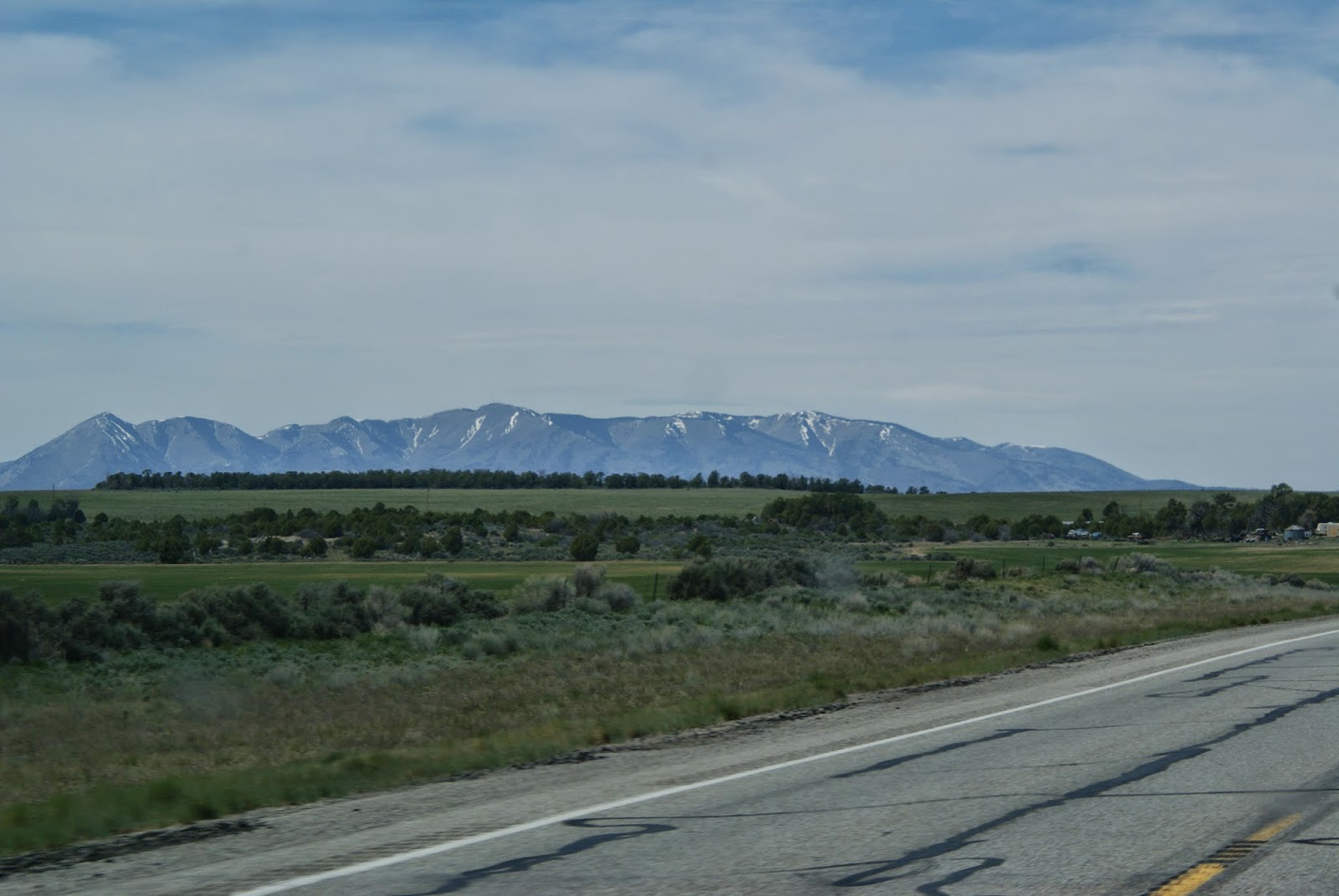
Somewhere along hwy. 491
The wind started picking up again this afternoon. I think it will be windy for the next few days in Moab too. The roads were OK along this section, just a 2 lane hwy really with plenty of room for bicyclists on the burm.
Looked like planting season is just beginning here, with freshly plowed fields on the right.
Yea, we made it!
We're beginning to head in a more westerly direction, toward these mountains. Wonder what they are named?
Fascinating formation, right?
I think I read somewhere today, that the purple color on the formations is iron manganese.
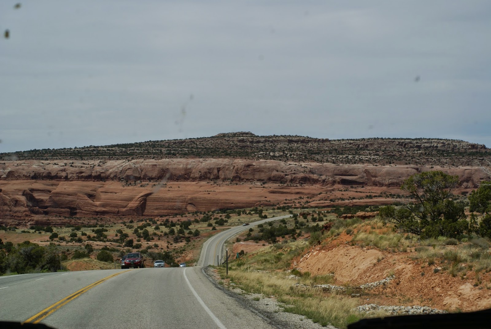
Getting closer to Moab. We're descending down this long area and the wind was really whipping the RV all over the place.
Nana had white knuckles, kept her eyes closed and was holding on tight!
This was really a good picture of the typical landscape. Sorry about the bugs on the windshield.
We're here!
Moab KOA campground. Right outside of the town of Moab, UT.
Office and camp store.
Great folks helped us get set up at our campsite. Not very level gravel road and site, but Paw was able to use the leveling blocks to get us close.
See, Paw's happy to finally be settled in and ready for his afternoon coffee. He's reading all about Arches and Canyonlands National Park, where we'll be visiting for the next few days.
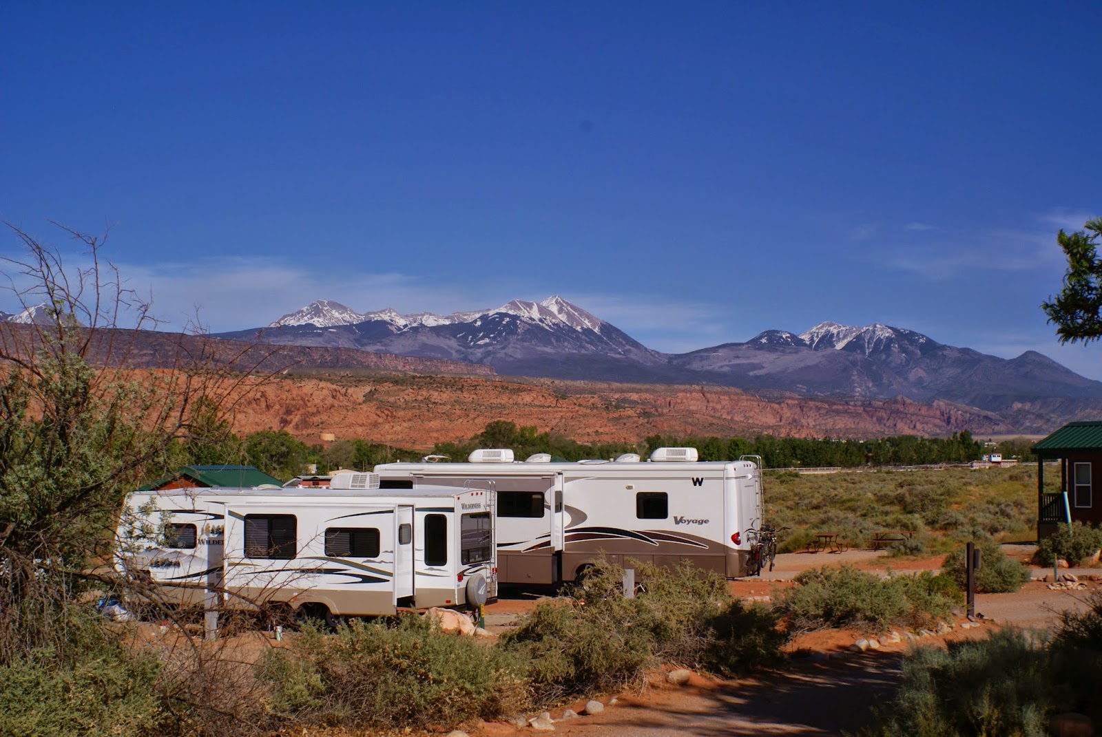
This was our view from the campsite.


No comments:
Post a Comment