Showing posts with label clouds. Show all posts

Tuesday, October 9, 2012

Day 40 and Day 41: and how we headed for home

Gallup, NM to Amarillo, TX

Trip Distance: 425 miles
Total Distance: 5,465 miles

Our Route:
East on I-40. 

We left out of Gallup, NM heading east on I-40. 


We came upon an interesting sandstone formation beside the interstate. Look at its size in comparison to that semi.


Along the way, we looked up the definition of a butte, a mesa and a plateau. 
Here it is:
butte: a small flat-topped hill with steeply sloped sides. no water
mesa: a medium flat-topped hill with steeply sloped sides. water can be found.
plateau: a very large flat-topped hill with steeply sloped sides. 

small = butte
medium = mesa
large = plateau

How about that, it's nice to be learning some geography on our road trip.


We thought this was interesting with the criss-crossing of the vapor trails


We ran into more lava flow. This didn't look like Pahoeoe, though.
There wasn't a place to pull off to take a closer look.


 More of it.


The closer we got to Albuquerque, NM  the more we climbed uphill. I think we climbed for more than 30 minutes. 


But we finally leveled out. 


Hurrah, for Texas! 
Adam was taking pictures at this time. 


This is what he found interesting. 
I was driving, so he occupied his time with using the camera and snapping pictures at whatever he could.
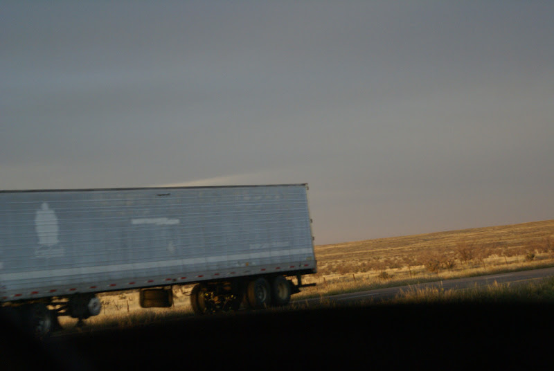

This is a great photo looking east at the clouds while the sun set in the west and reflected the colors onto them.


Don't you think he did a good job. 


This is looking through the back window in the magnifying inset.


And a view through the back window at the setting sun.


Despite Adam's reluctance, we slept in a Walmart parking lot in Amarillo, TX. There were lots of other RVs there, so we just parked next to the others and settled in for the night. 
We started the generator and had tomato soup and grilled cheese sandwiches. 
Adam and I went into the store and picked up cupcakes for desert and more milk.
Although Walmart parking lots are not very relaxing or comfortable to stay overnight in, we did get an early start out in the morning.


Day 41:
Amarillo, TX to Checotah, OK

Trip Distance: 374 miles
Total Distance: 5,840 miles

Our Route:
East on I-40. again.

The landscape in rolling.


More trees and variety here in OK.


Through Oklahoma City, OK at about 3:30pm. 
Not too bad for traffic. 
Some construction. 
Roads, not too smooth for the RV.


We rolled into a KOA Campground in Checotah, OK for the night. Adam is one happy boy. The have a playground.
He thinks KOAs are the BEST!

The staff are very friendly. The campsites are level.
Bathrooms are clean. Water is hot. We give it a high rating.

Nana fixed chicken BBQ with baked potatoes for supper. 
Yum!

Showers, done.
Laundry, done.
Blog, done.
now for bed. 

Tomorrow, we conquer the rest of OK and most all of AR.
Our destination = Memphis, TN
(we hope)

Friday, September 28, 2012

Day 30: and how we took an accidental detour

Ogden, UT to Bryce Canyon, UT

Total Miles: 300
Total Distance: 4,440

Our Route:
We drove on I-15 through all sorts of construction work in Salt Lake City, where I took the RV for a joy ride in Orem, UT. (Accidentally.) 
The lane I was driving in exited me onto W. University Drive and after a brief delay, we figured out how to get back on the the Interstate and our journey continued. 


Not knowing where the next gas station would be, we took frequent opportunities to gas up. 


The mountains were constantly beside us.


But the trees are now more juniper and cedar. 


You can tell the sky is much more clear south of SLC. There are no wildfires blowing smoke here.

Finally, we exited I-15 for good and took hwy 20, which is a cut through road to take us over to hwy 89.


It felt like an endless road stretching out before us. Adam said every few hours,
"Are we there yet?" 
or 
"Mom, show me on your GPS, how much further?"


Hwy 20 took us over a scenic mountain climb. Our little RV strained,
"I think I can,... I think I can,...
I think I can."


Here, we are nearing the top.


Rounding the curve, and you can see for miles in the distance.


Here's another look


When we reached hwy 89, we turned south toward the town of Panguitch. Then we looked for hwy 12 to take us to Bryce. 
We didn't know about Red Canyon, but stumbled across it just before Bryce. We decided to stop at a road side rest stop, and take a stroll on their .3mile Hoodoo loop. 
We know what hoodoos are by now.


We really needed to get out and run around a bit after 5 hours of driving. 


We tried to imagine what this hoodoo (above my head) reminded us of. 
Natalie said those statues on Easter Island. 
I said Indians back to back with their arms crossed.

What do you see?


The trees we noticed on the trail are called Bristlecone Pine, but there are Pinyon pines, Ponderosa pines, juniper, spruce and fir as well in this Dixie National Forest.


They told us the Red Canyon is one of the most photographed places in Utah. It has brilliant red soil with vibrant green trees.


Most of the trees were twisted around, due to the wind.


These natural tunnels were really neat to do through.


The view from our RV campground.
We're getting really good at setting up and breaking down our campsites now. I guess we should be, we've had 4 weeks to practice. 


Our campground is called Canyon Pines. It advertised a heated pool and hot tub, but they failed to mention it was a 3 minute walk down the road to the Canyon Pines Motel. 
We decided to drive down there. 
The hot tub was not very hot, but we soaked in it anyway.

Tonight's menu was grilled cheese and soup. We had a choice of chicken noodle or tomato. Oh, it hit the spot. 
Thanks, Nana. You're a great cook.

Day 28 & Day 29

Day 28
West Glacier, MT to Dillon, MT

Total Miles:300
Total Distance: 3,820

Our Route:

We set out of West Glacier heading back toward Columbia Heights on hwy 2.  We took a scenic hwy 206 for a few miles to hwy 35. Hwy 35 was said to be very scenic as well. 
A two lane road that runs beside by Flathead Lake. It was smoky from all the wildfires, but still very interesting. 


Near Polson, MT, we picked up hwy 93 again heading south. Just west of Missoula, MT, we found I-90.


We passed through Deer Lodge and Butte, where we then picked up I-15.


We stayed at Southside RV Park in Dillon, MT. The lady at the office was just as nice as she could be. She was so talkative and friendly too. 

She told us she was a history buff and loved to research family histories through DAR. She even looked up things up for the Crisp Family Name and brought the information to us. 

She gave Adam a ride on her 4-wheeler. He was so pleased. 

 The sunset tonight was especially lovely. 


Day 29
Dillon, MT to Ogden, UT

Total Miles: 320
Total Distance: 4,140

Our Route:

We took I-15 all the way south through the southern part of MT, all the way through Idaho and into UT.

We passed over the Snake River, which we remember taking a float trip down when we visited the Tetons a few years ago. 

Then Paw got out the map and he traced it all the way from the Tetons to where we were on I-15. 
Pretty neat. Maybe you should too?


For lunch, we stopped at a road side rest stop. I was thinking, we could eat a quick bite for lunch and let us all get out to stretch out legs and then be back on the road again.
Well, 


I didn't know we had stopped at such an interesting place. We had to check it out...


The lava flowed out of giant fissures in the earth's crust. Not from a volcano. It oozed out and then cooled quickly on the top forming a crust. 


The lava flow is called Pahoehoe.


This area is also called a "high desert". There are sage brush growing here.


A one mile nature walk


We had to explore it.


Juniper berries.


After our delay, we made it to Utah!!


The mountains of Utah


Even this area has seen lots of smoke from the Idaho wildfires. Not so bad this week though, we were told.


The mountains here have red in them. Don't know what kind of trees they are, but they are quite beautiful. We are used to the yellow Quaking Aspens from the northern states and Canada. 


Our campground tonight is in Ogden, UT. It's next to the interstate, but has a heated pool and hot tub. We are excited to relax in it before supper. 

Tomorrow, another long drive down to Bryce Canyon.